Analyzing Arctic Wildfires with Atmospheric Data
Analyzing Arctic Wildfires with Atmospheric Data
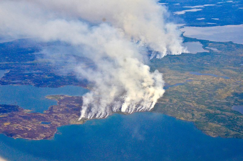
Wildfires in the Arctic often burn far away from populated areas, but their impacts are felt around the globe. From field and laboratory work to airborne campaigns and satellites, NASA is studying why boreal forests and tundra fires have become more frequent and powerful and what that means for climate forecasting, ecosystems and human health.
In this Arctic Wildfires Story Map you can learn about the different types of atmospheric data used to study wildfires in the arctic such as aerosol optical depth, carbon monoxide, and others.
Photo Credits: NASA/Peter Griffith
Published in November 2019.